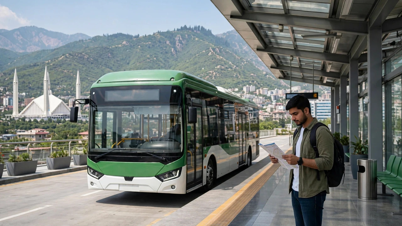
If you travel by metro bus in Islamabad or Rawalpindi, one saved map can answer almost every journey question before you leave home. The official map shows all the main lines, the feeder routes and the stations where you change buses, so you can plan the whole trip in advance. The best part is that you can download it once as a PDF and keep it on your phone, even when you have no internet on the road.
How to Download the Official Metro Bus Map PDF
The official map is published by the Capital Development Authority (CDA) as the Transit Map of Islamabad, and you can open and download it directly from this link: https://www.cda.gov.pk/public/Assets/pdf/Transit-Map-Islamabad-V-07.pdf. On a phone, tap the link, wait for the map to load, then use your browser or PDF viewer download button to save it to your device. On a computer, open the same link and choose download or print, and the file will be saved as a PDF you can open again any time.
Once saved, the map works completely offline, which makes it handy for visitors, students and daily commuters alike. You can zoom in to read small station names, share the file with family, or print a copy to keep at home or at work. Because routes can change over time, it is worth checking the CDA website again every few months to make sure you still have the newest version of the map.
What the Official Map Shows
The map uses a clear legend, so each type of stop is easy to recognise: metro stations, BRT routes, transfer stations where lines meet, and combined stops are all marked separately. The four main lines are the Red Line from Saddar to Pak Secretariat, the Orange Line from Faiz Ahmed Faiz (Peshawar Morr) to Islamabad International Airport, the Blue Line from PIMS to Gulberg, and the Green Line from PIMS to Bhara Kahu. The two biggest interchanges to learn first are PIMS, where the Red, Blue and Green lines meet, and Faiz Ahmed Faiz, where the Red and Orange lines connect.
The map also lists the feeder routes that branch out from the main lines, including FR routes such as FR-01, FR-03A, FR-04 and FR-06, plus ST routes like ST-01 from PIMS to Daman-e-Koh. These feeder buses reach sectors and neighbourhoods that the main metro lines do not cover, so a complete journey often means one main line plus one feeder bus. One thing to remember is that the map shows routes and stops, not live timings or fares, so use it to plan your route and check timings separately before you travel.
Use the Map With Live Route Checks
A printed or saved map becomes even more useful when you pair it with a live check on the day you travel. Before setting out, confirm your boarding stop and direction on the map, then check the CDA Mobile App or Google Maps for the latest route and arrival information. This two-step habit protects you from surprises if a route has changed, a stop has moved, or a service is running differently on a particular day.
If you are new to the city, start with the main line nearest your home, find your interchange on the map, and trace the rest of your journey from there. Keep the PDF saved on your phone, note your transfer station before you board, and allow a few extra minutes at busy interchanges like PIMS and Faizabad. With the official map in your pocket, travelling across Islamabad and Rawalpindi by metro bus becomes a simple, confident journey instead of a guessing game.